Marine Survey & Positioning

From pre-spud site surveys to anchor handling on location, we deliver accurate, safe and on-schedule offshore operations across Southeast Asia.

Know the seabed. Place the rig with confidence.

Site and debris surveys, geotechnical investigation, rig and barge positioning, anchor handling and rig move planning — from the pre-spud survey to the rig on location.

  • 40+ years in Southeast Asia
  • ISO 9001
  • ISO 45001
  • Experienced team

    Surveyors and marine specialists with decades offshore.

  • Cutting-edge equipment

    Latest-generation acoustic and positioning systems.

  • Modern acquisition software

    Real-time QC, processing and clear deliverables.

From seabed survey to rig on location

Four service lines for rig placement and rig moves. Request one, or brief us on the whole campaign.

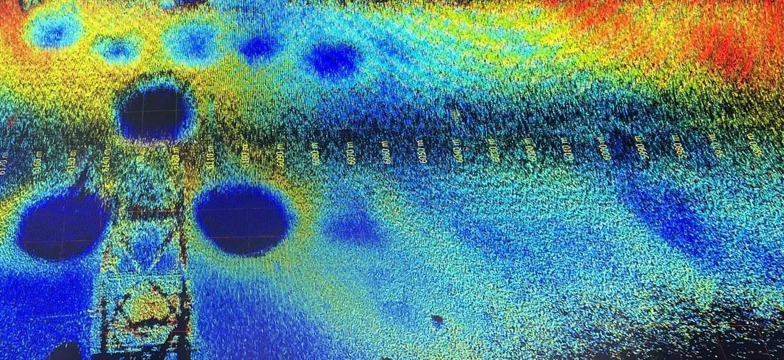
Colour multi-beam echo sounder image of the seabed
Multi-beam bathymetry
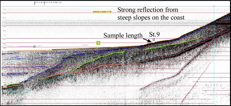
Sub-bottom profiler section showing the layers beneath the seabed
Sub-bottom profile

Geophysical Survey

Acoustic survey of the seabed and shallow geology, so rig placement starts from real data.

Site Survey

Seabed and shallow-geology assessment for exploration well rig placement, pilot holes and boreholes.

Equipment

  • Sub-Bottom Profiler
  • Side Scan Sonar
  • Multi-Beam Echo Sounder
  • Single Beam Echo Sounder

Debris Survey

Detection and mapping of seabed debris around platforms and exploration well locations for safe rig placement.
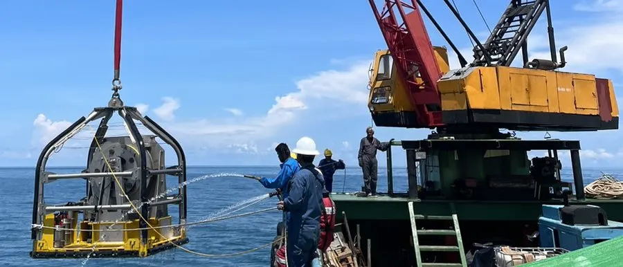
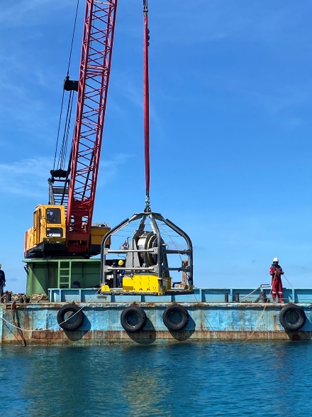
Vibro-corer frame being deployed from the deck of a survey vessel

Geotechnical Survey

Subsurface site investigation for foundation and rig-placement design.

CPT (Cone Penetration Testing)
In-situ testing of soil stratigraphy and engineering properties.
Vibro-corer
Continuous core samples of unconsolidated, saturated sediments.
Request this service
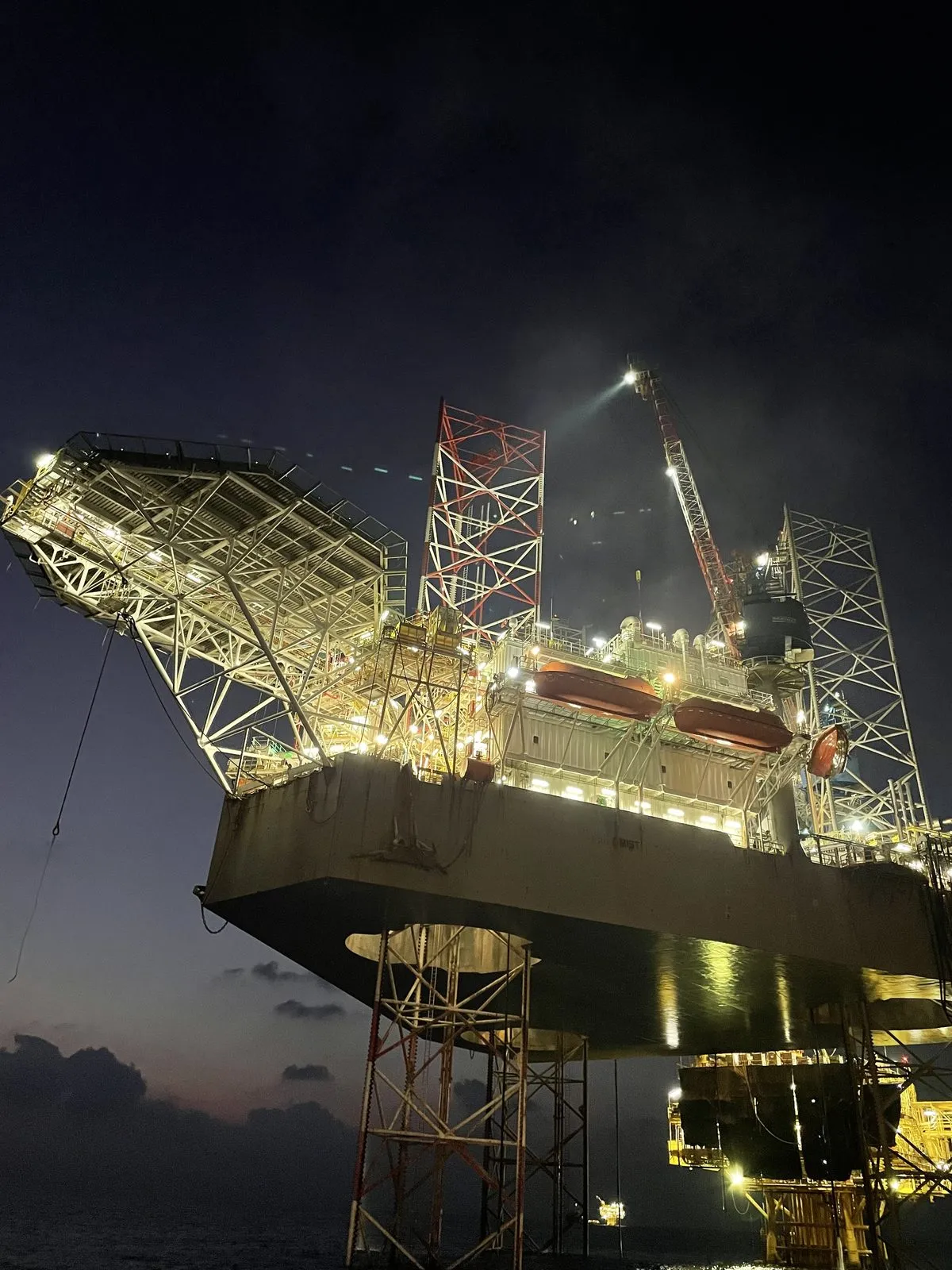
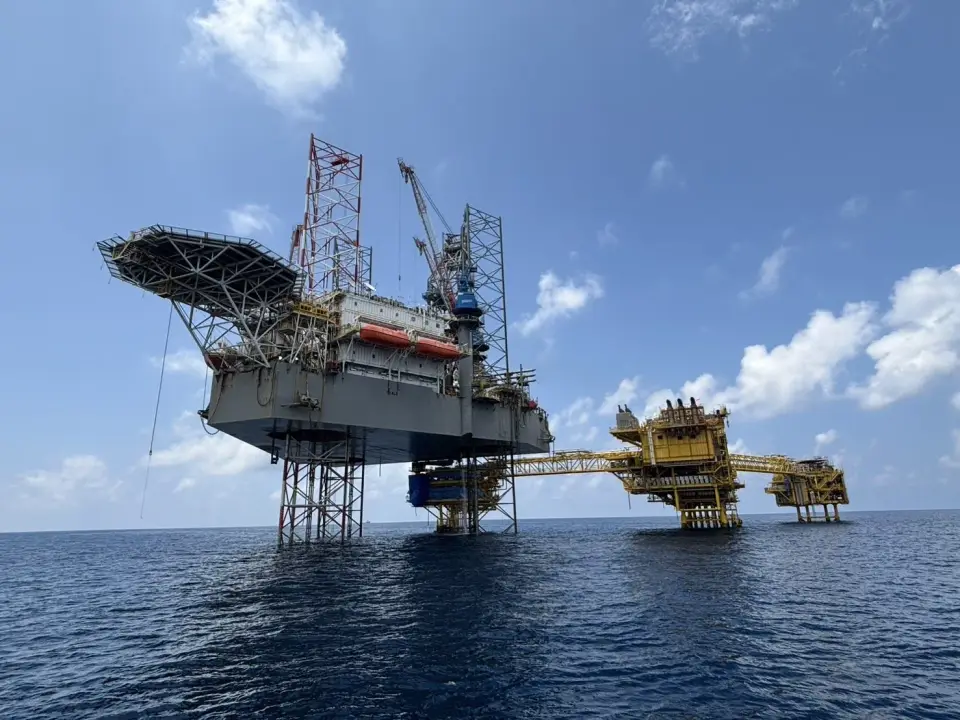
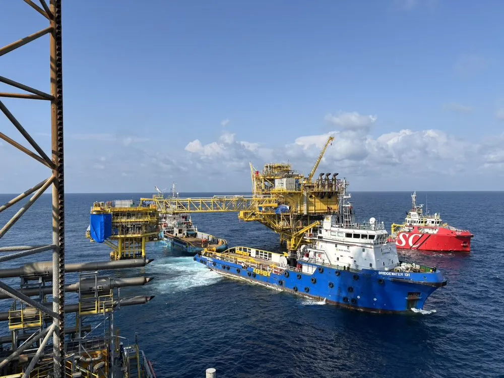
Offshore rig with a support vessel alongside

Rig & Barge Positioning, Anchor Handling

Precise positioning of rigs and barges, with real-time guidance for anchor deployment and recovery.

Includes

  • Rig positioning
  • Barge positioning
  • Anchor handling
Request this service
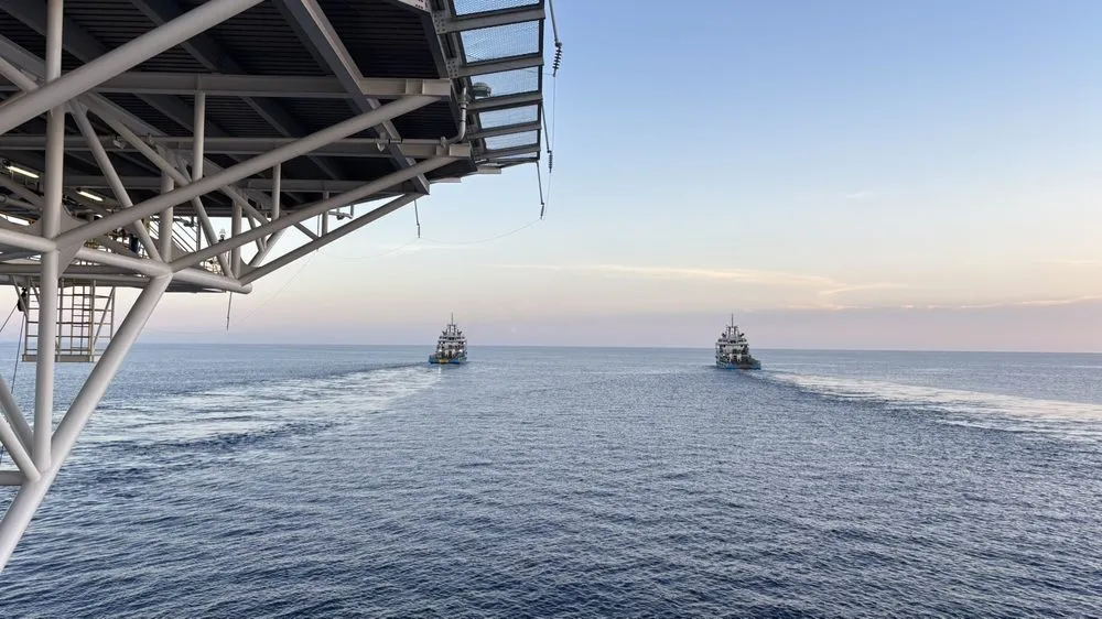
Tugs towing at sea during a rig move

Rig Move Planning

End-to-end engineering so every tow and anchor spread is planned before the rig moves.

Includes

  • Tow route design
  • Anchor pattern
  • Charting
  • Field diagram updating
Request this service

Related marine survey projects

Submarine cable route surveys delivered for power projects in the Gulf of Thailand.

Electricity Generating Authority of Thailand (EGAT) — Marine Survey
Marine Survey · Oct 2021

Electricity Generating Authority of Thailand (EGAT) — Marine Survey

Submarine cable route survey for the 230 kV Khanom – Ko Samui Submarine Cable System Project. Data collected to support design and construction of the route from Khanom HV Substation to Ko Samui HV Substation, Surat Thani.

J-Power — Marine Survey
Marine Survey · Dec 2024

J-Power — Marine Survey

DTS and route survey for installation of the HVAC submarine cable system from Khanom HV Substation (Nakhon Si Thammarat) to Ko Samui HV Substation (Surat Thani), part of EGAT's 230 kV Khanom – Ko Samui Submarine Cable System Project.

Provincial Electricity Authority (PEA) — Marine Survey
Marine Survey · Jul 2019

Provincial Electricity Authority (PEA) — Marine Survey

Physical characteristics and geographic coordinate survey for 22 kV submarine cable routes: Khao Laem Ya – Koh Samet (Rayong, ~5 km) and Laem Ngop – Koh Chang (Trat, ~6 km).

Marine Survey & Positioning brochure

All four service lines and the survey equipment on one page, ready to share with your drilling and marine teams.

Download the brochure (PDF)PDF · 1 page · 1.4 MB

Frequently asked questions

Planning a rig move or site survey?

Tell us where, when and what you need. Our business development team replies with scope and availability.

Your details
Services needed
Project details

Your brief is handled in confidence and used only to reply to this enquiry. Privacy policy